Mesa Falls

Mesa Falls
Overview
Mesa Falls, Idaho is actually two separate falls, the Upper Mesa Falls and the Lower Mesa Falls. Both within Targhee National Forest, they show the power of falling water and the beauty of nature.
Location
Upper Mesa Falls is only about 48 miles from West Yellowstone on Highway 47. The Lower Mesa Falls is approximately a mile beyond that.
Seasons/Fees
There is a daily fee of $5 per vehicle if you park and walk to the falls lookout. Idaho’s Mesa Falls is accessible all year. For more information contact the Caribou-Targhee National Forest at (208) 524-7500.
Activities
There is more to do at Mesa Falls ID than simply admire the gorgeous tumbling waters.
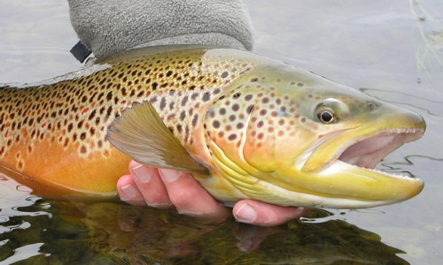
Fishing
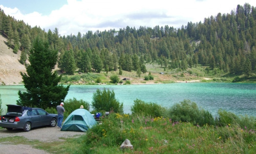
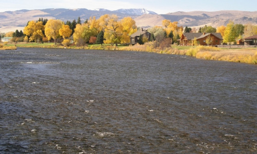
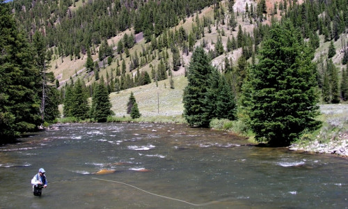
Just downstream from the Lower Falls you’ll find Henry’s Fork River and a great private place to fish. Braving the steep hillsides of the canyon deters some, thus you’ll find fishing typically much better here.
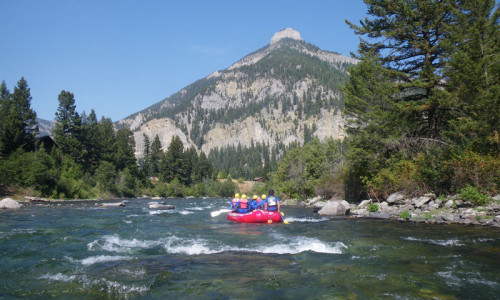
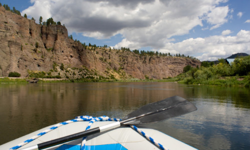
Boating
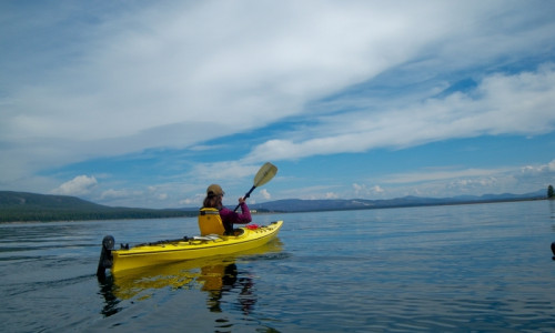
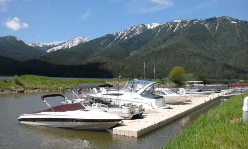
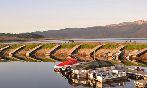
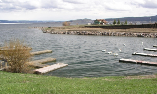
A scenic float may be just the thing. You will need to take a shuttle to your takeout point to float the section from Mesa Falls to Warm River.
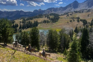
Hiking and Biking
There are a number of hiking trails around the falls, including a one-mile trail from the Upper Falls to the Lower Falls. You can also take the trail from Grand View Overlook to Bear Gulch and even continue on to Warm River Campground. If you head north from Bear Gulch, you can hike 32 miles to the Montana border if so inclined. But just walking around Mesa Falls will be one filled with the smell of wildflowers blooming throughout the seasons.
Mountain biking the 14.7-mile Warm River trail should take you about 2 hours with an elevation gain of 750 feet. There are stops at scenic overlooks along the way, so the trip could take a bit longer.
Scenic Driving
Take the Mesa Falls Scenic Loop through open meadows, beautiful farmland and, of course, around the falls. This 28-mile road winds through southeastern Idaho’s Targhee National Forest and along the Henry’s Fork of the Snake River to show off nature’s most perfect scenery. Begin your journey in Ashton.
Bird Watching
Keep a sharp eye out for the many birds of prey that make the falls area their home, including osprey, peregrine falcons and bald eagles.
Additional Info
It was two million years ago that Mesa Falls was created by volcanic activity in the region. The Upper Mesa Falls is 110 feet high and 300 feet wide at an elevation of 5,600 feet. Lower Mesa Falls is 85 feet high and at an elevation of 5,400 feet.
- Visit the Upper Mesa Falls and the Lower Mesa Falls in Targhee National Forest
- The Falls are only about 48 miles from West Yellowstone
- Fish the Henry’s Fork River downstream from the Lower Falls
- From Bear Gulch, hike 32 miles to the Montana border
- Drive the Mesa Falls Scenic Loop